Inspiration
GIS systems are commonly used for nature conservation and detailed mapping.
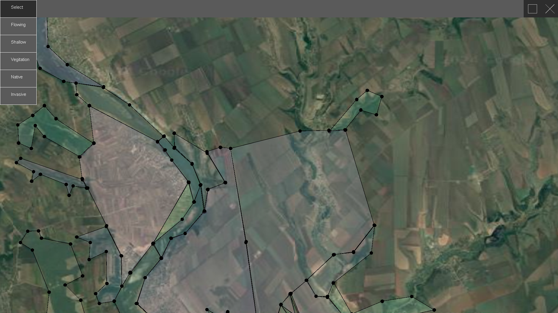
What it does
It allows the user to navigate a map and filter boundaries
How we built it
We built it using the Java language and worked in IntelliJ and Eclipse IDE's. We used Github to work on separate branches.
Challenges we ran into
Figuring out algorithms for creating zones, such as plotting points with mouse drag functionality as well
Accomplishments that we're proud of
Successfully creating a fully fledged project in less than 48 hours.
What we learned
Efficient time management, graph theory, and file location pathing.
What's next for TritonGIS
Could be combined with the power of Artificial Intelligence to automate point plotting and boundary labelling. Additionally, implementation of Google Maps could be made, allowing for global coverage.

Log in or sign up for Devpost to join the conversation.